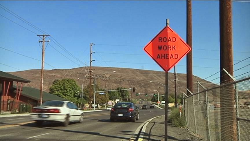
by SRTC Staff | Apr 28, 2020 | Blog, Uncategorized |
Spring means road construction season here in the Inland Northwest and each year our staff creates an on-line map that shows exactly what road project is happening where. And it is updated every week, so information is always current. No need to worry about road...
by SRTC Staff | Oct 18, 2019 | Blog, Uncategorized |
SRTC staff does an amazing job of producing informative AND interesting online maps. Many of them are interactive, too. Click the link to take a look at our construction project maps, bicycle route maps and lots of...
by SRTC Staff | Oct 6, 2015 | Uncategorized |
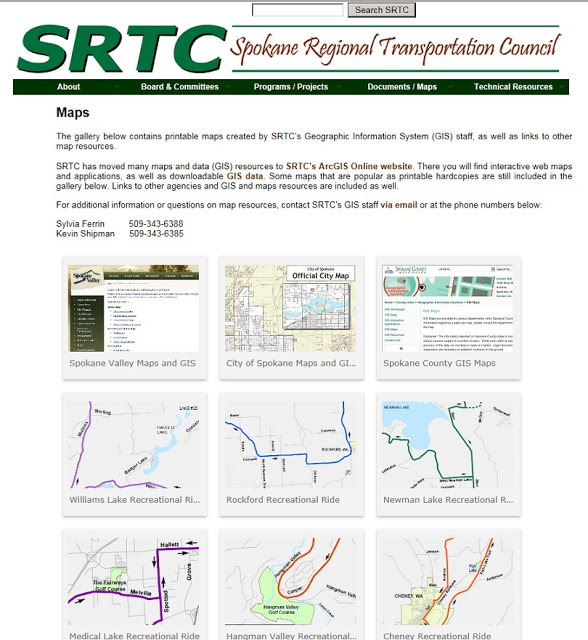
Need a map of something local? We may have it on our website. And we’ve revamped our Maps page just this week to make it easier to navigate. Why read all those words when you can find what you need using an image? Below is what it looks like now. Click here to...
by SRTC Staff | Jul 16, 2015 | Uncategorized |
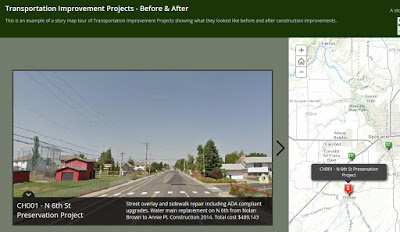
Ever wonder about the condition of the local bridges you drive over or which areas of the county have the most vehicle collisions? SRTC is rolling out some new maps that can answer those questions and others related to local transportation. In 2014, we started using...
by SRTC Staff | Oct 10, 2014 | Uncategorized |
I spent a large part of the summer talking to groups and people at community events about our new ArcGIS Online interactive maps. So you may have already heard that we’re making all of our maps into versions that are posted on the internet and allow you to...