The shift in thinking when it comes to community planning is to plan around neighborhood centers, schools and jobs so that you live, work and play in your neighborhood.
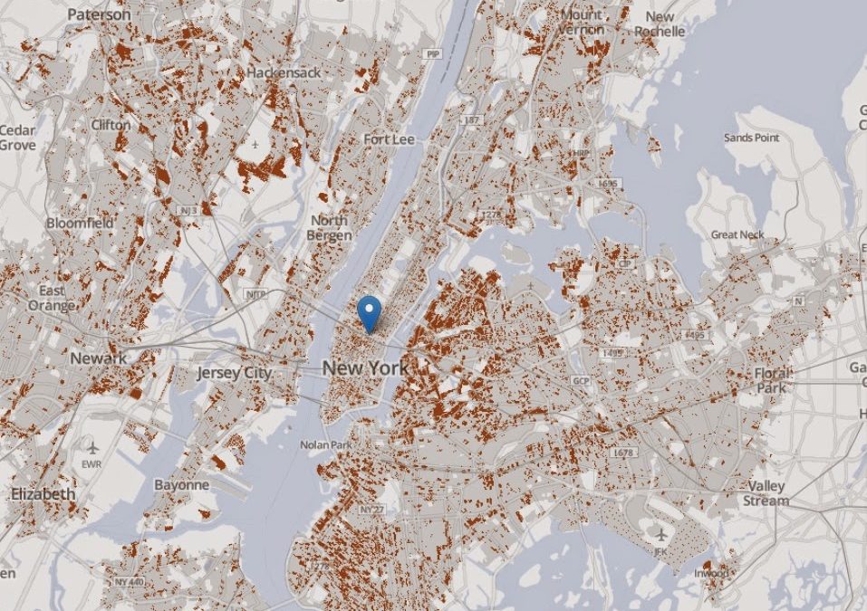
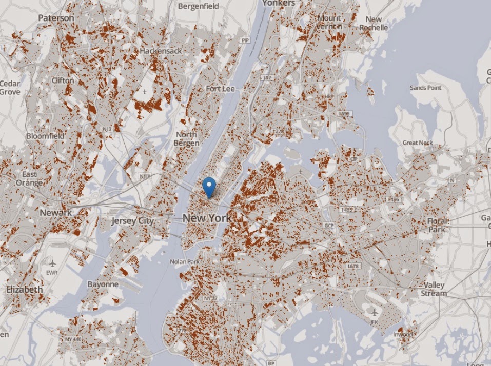
A new tool is making that easier to do; a new suite of transportation-mapping projects that uses census data to determine how many jobs are physically accessible to you in a variety of industries within a certain distance or timeframe from your residence, no matter what transportation mode you use to get there.
These new tools are expected to help determine where cities build new housing, which specific communities can’t afford cuts to public transit and how traffic would be impacted by certain changes in infrastructure, such as closing a bridge or major arterial.
The Washington Post has more on the new series of maps that can help to plan communities.